Mini-Map
A floor plan preview embedded directly in your app — right where attendees are already looking. Tap an exhibitor and see exactly where their booth is. Tap again to expand into a full interactive map with wayfinding directions.
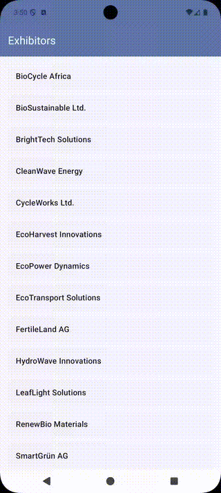
Demo app with a sample floor plan — exhibitor names and booth numbers are placeholders.
How it works
- Browse exhibitors — Attendees scroll through the exhibitor list, pulled automatically from the floor plan data.
- See the booth location — The exhibitor detail screen shows an inline floor plan preview with the booth highlighted.
- Get directions — One tap expands to a fullscreen interactive map. Another tap shows turn-by-turn wayfinding from the entrance.

Core SDK APIs
The pattern uses a small set of APIs available on every platform:
| API | Purpose |
|---|---|
setElementsVisibility | Hide default SDK chrome for a clean embedded look |
selectExhibitor | Highlight a booth by name or ID |
selectRoute | Draw a wayfinding path between two booths |
fitBounds | Reset zoom to show the full plan |
Web
A single HTML file that loads the SDK as an ES module, scopes it to a container <div>, hides the default chrome, and reacts to user input with selectBooth, selectExhibitor, and zoomTo. Runs against the public demo floor plan.
iOS (SwiftUI)
Two PlanPresenter instances — one for the inline preview, one for the fullscreen view — sharing the same expo key. SwiftUI animates the expand/collapse transition via matchedGeometryEffect, and selectRoute drives turn-by-turn wayfinding.
Android (Jetpack Compose)
Two PlanPresenter instances injected via Hilt DI, with pre-attached WebViews to avoid blank-frame flicker. The fullscreen map is an AnimatedVisibility overlay rather than a navigation push, so no view detach/reattach is needed when expanding.